We are experts in 3D geospatial data
processing & immersive visualization
Virtual Reality | 3D Processing | Collaborative vizualisation tools
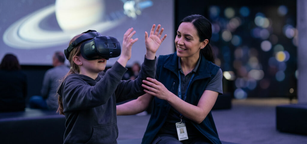
OUTREACH
Captivate & Expand
your audience

SCIENCES
Exploit the full potential of your data in virtual reality
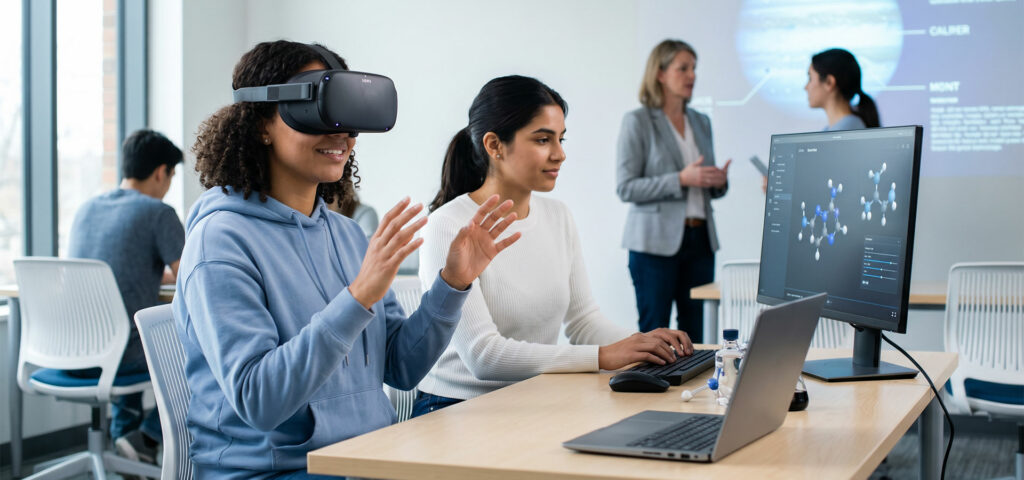
EDUCATION
Strengthen student knowledge through collaborative immersion
Discover 5 good reasons to
develop a virtual reality experience !
Live the learning
Enhance memorization through intuitive virtual immersion: Live, memorize!
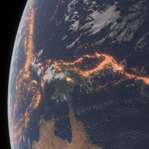
Visualization of Complex Data
Uncover new dimensions for in-depth understanding of complex data.
Immersive & Emotional Experience
Enable users to live a more engaging and captivating immersive experience
Limitless Perspectives
Design unique experiences, where no boundaries hold you back!

Technological Innovation
Distinguish yourself through the benefits of cutting-edge innovative technologies.
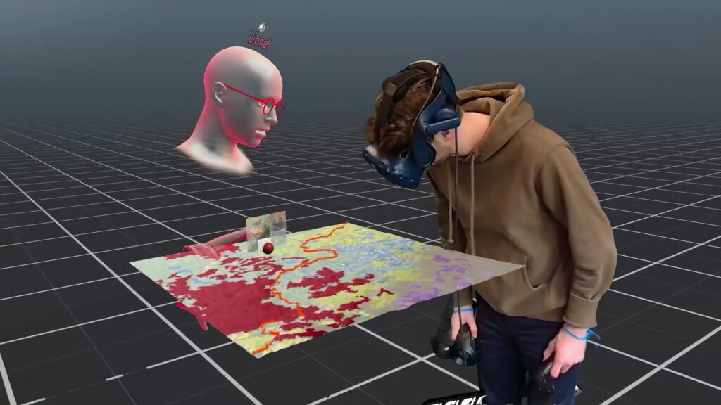
VRExplorer
VRExplorer is the first immersive, collaborative platform for loading digital terrain models into virtual scenes shared in real time between remote users.
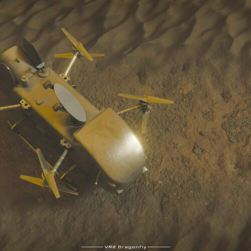
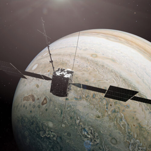
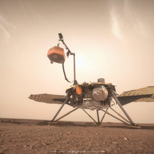
Latest applications

Let’s build your idea
Attuned to your aspirations, we are ready to take on the challenge of realizing your goals.
Contact us now for an innovative and successful collaboration.