PlanMap
The future of immersive tool for geosciences
March 2019
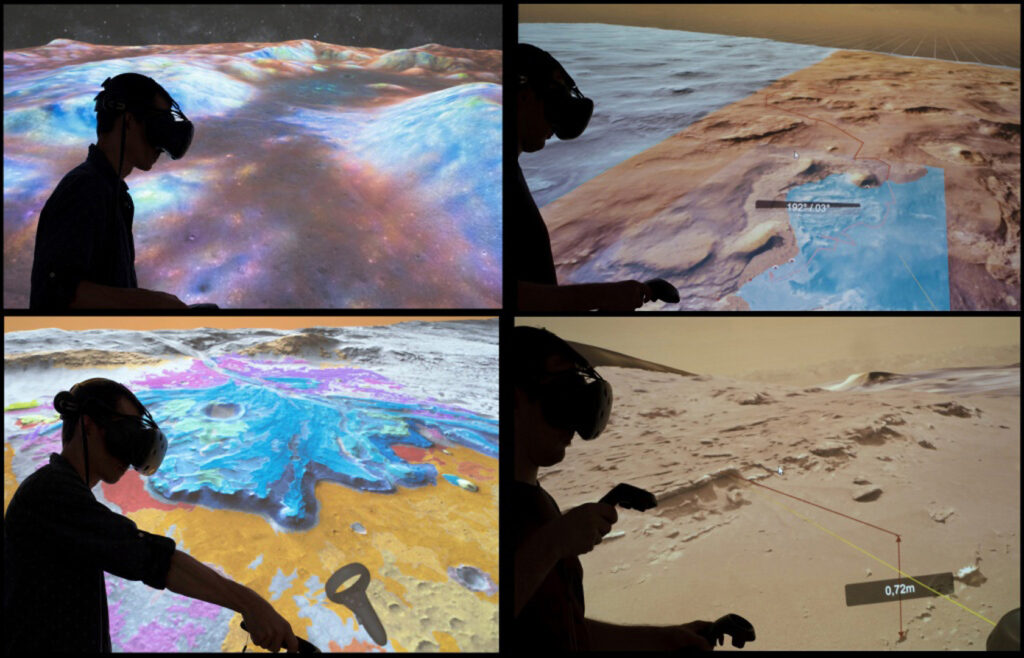
This software is dedicated to the visualization of imaging products from the Mars Science Laboratory mission, the Curiosity rover, on the Kimberley site.
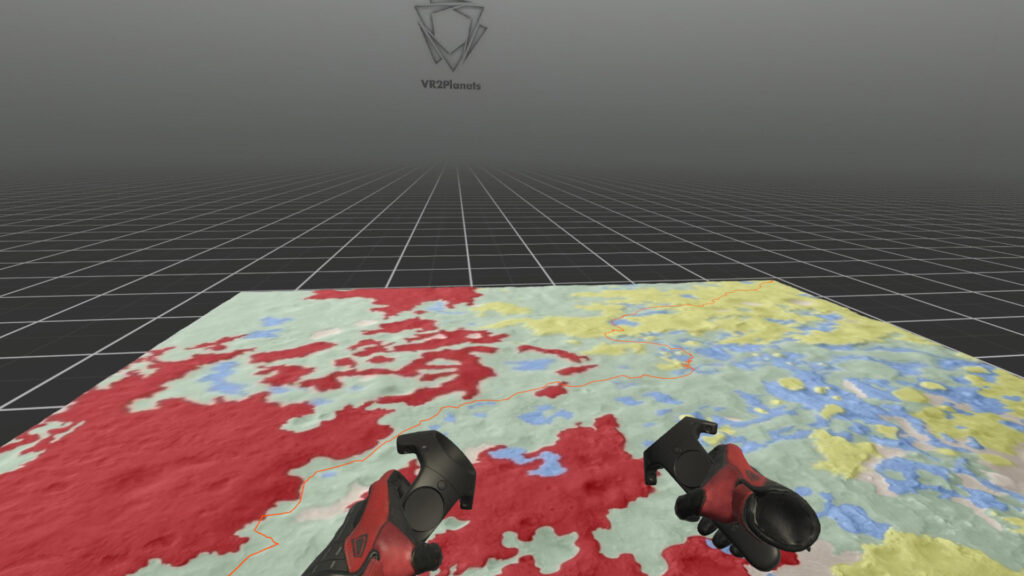
Users see and talk to each other and can navigate in the digital terrain model acquired from orbit by the HiRise imager (Mars Reconnaissance Orbiter – NASA – 25 cm/px) to which the photogrammetric model of the Kimberley site is fused.
Features
- Real Data
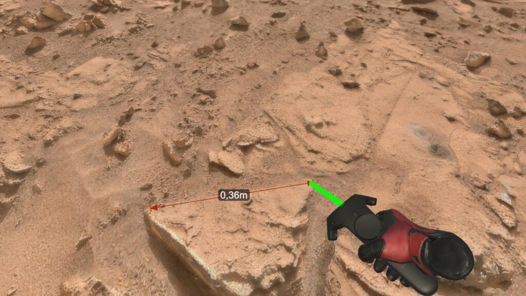
- Measurement tools
- Data management
- Multiuser
- Training
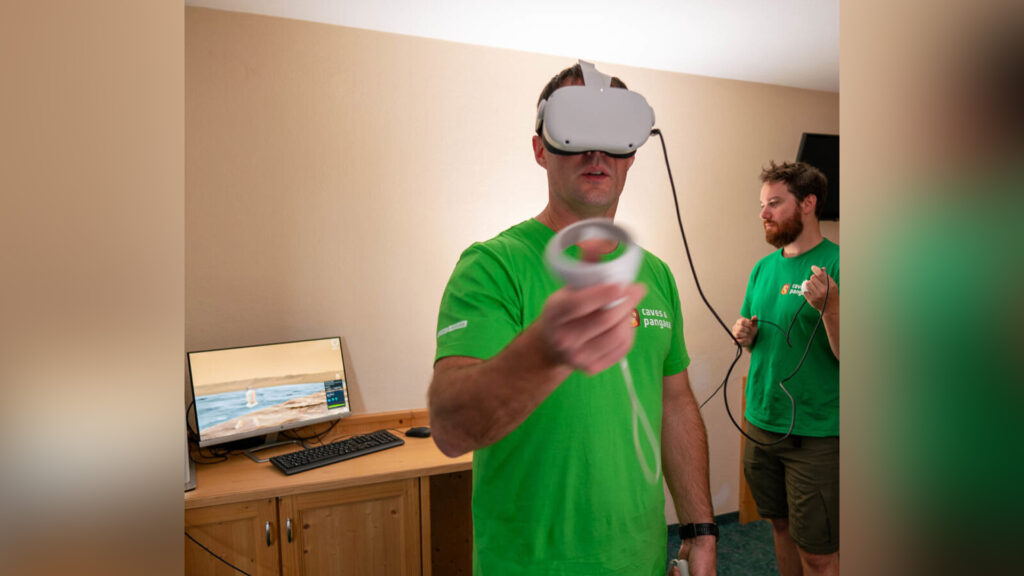
- Oculus – HTC Vive
- Eng
The model has been created using NavCam and MastCam images, up to a few centimeters of resolution.
Caravaca, G., Le Mouélic, S., Mangold, N., L’Haridon, J., Le Deit, L., & Massé, M. (2020). 3D digital outcrop model reconstruction of the Kimberley outcrop (Gale crater, Mars) and its integration into Virtual Reality for simulated geological analysis. Planetary and Space Science, 182, 104808.